San Francisco Bay Navigational Marks Names and Locations

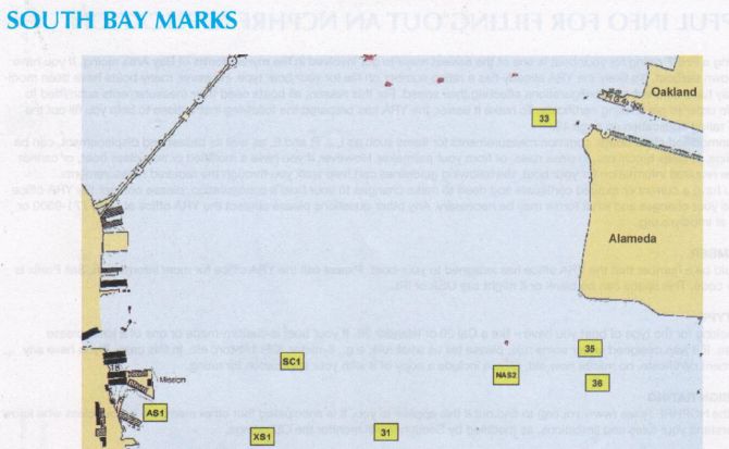
We have to pay a special thank you to Latitude 38 Magazine. This year's Sailing Racing Guide has comprehensive listing of the navigation marks on San Francisco Bay.
Being a good mariner means being a good navigator. Have you ever wondered just exactly where is Yellow Bluff? What about Blossom or Harding Rock. Well the folks at Latitude have put it all to paper.
View a PDF Map of all the marks of San Francisco Bay Click Here
We do need to warn you that these marks can move, and every year things change so please do not use this for official navigation. It's simply a learing tool for gaining a better understanding of the bay we call home.
We highly encourage you to make sure you grab a copy of Latitude whenever you are in the shop. The content is top notch. While it is skewed towards boaters there is tons of content for anyone who loves San Francisco Bay and the waterways of the world.
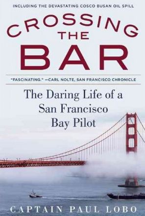
One more plug for the recent book Crossing the Bar by Paul Lobo. Paul was a 35 year veteran of the San Francisco Bay Bar Pilots and has put his experiences to paper in this fun to read book. The Bar Pilots are the ones that have to bring in the big ships through San Francisco Bay, and from Nuclear Subs, to the latest in Panamax container vessels, Paul drove them all. A great book for anyone interested in San Francisco Bay's history and navigation.
Need more Bay fix? Check out this Interactive Map of our areas Watershed.
While we are at it let us re-share the SF Bay Fly Over Video. This incredible overview of the topography of San Francisco Bay's bottom is simply awesome.